books by author
Ordnance Survey

Chichester and the South Downs

Landranger Maps: Sheet 55: Lochgilphead and Surrounding Area

Northern England

Denbigh and Colwyn Bay Area

The West Highland Way

Yorkshire Dales

Tenby and Pembroke

Romney Marsh, Rye and Winchelsea

Pembrokeshire Coast Path

Bedford and St.Neots, Sandy and Biggleswade

Kettering & Corby

Rutland Water, Stamford and Oakham

Northampton and Market Harborough

Canterbury and East Kent, Dover and Margate

Devon

Isles of Scilly (Sheet 25) (Outdoor Leisure Maps)

The Broads: Sheet 40 (OS Explorer Map)

St.Austell and Liskeard: Sheet 107 (Explorer Maps)

St Austell & Liskeard Map | Fowey, Looe & Lostwithiel | Ordnance Survey | OS Explorer Map 107 | England | Walks | Hiking | Maps | Adventure
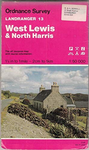
West Lewis and North Harris: Sheet 13 (Landranger Maps)

Newcastle Upon Tyne, Durham and Sunderland: Sheet 88 (OS Landranger Map)

Stafford and Telford, Ironbridge
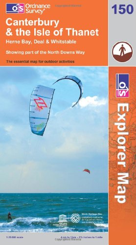
Canterbury and the Isle of Thanet

Cornwall

Lancaster, Morecambe & Fleetwood Map | Lancashire Coast | Ordnance Survey | OS Explorer Map 296 | England | Walks | Hiking | Maps | Adventure

Norfolk Coast Central Map | Wells-next-the-Sea & Fakenham | Ordnance Survey | OS Explorer Map 251 | England | Walks | Hiking | Maps | Adventure

Hereford, Leominster and Surrounding Area

Landranger Maps: Sheet 186: Aldershot, Guildford and Surrounding Area

Dublin Street Guide
