books by publisher
Ordnance Survey

Landranger Maps: Sheet 104: Leeds, Bradford and Harrogate Area
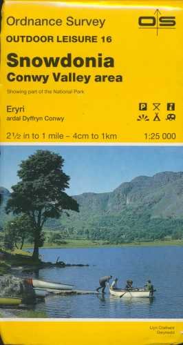
Outdoor Leisure Map 017: Snowdonia, Snowdon and the Conwy Valley

Dublin Street Guide

Penrith & Keswick, Ambleside

Cornwall

Landranger Maps: Sheet 186: Aldershot, Guildford and Surrounding Area

Hereford, Leominster and Surrounding Area

Norfolk Coast Central Map | Wells-next-the-Sea & Fakenham | Ordnance Survey | OS Explorer Map 251 | England | Walks | Hiking | Maps | Adventure

Lancaster, Morecambe & Fleetwood Map | Lancashire Coast | Ordnance Survey | OS Explorer Map 296 | England | Walks | Hiking | Maps | Adventure

Northampton, Milton Keynes,Buckingham & Daventry

Northampton and Market Harborough

Rutland Water, Stamford and Oakham

Kettering & Corby

Bedford and St.Neots, Sandy and Biggleswade

Romney Marsh, Rye and Winchelsea

Tenby and Pembroke

Map Cover Art

Denbigh and Colwyn Bay Area

Northern England

Landranger Maps: Sheet 55: Lochgilphead and Surrounding Area

Chichester and the South Downs

Brighton and Lewes, Haywards Heath

Snowdon and Surrounding Area

Sheffield and Huddersfield, Glossop and Holmfirth

Minehead and Brendon Hills, Dulverton and Tiverton

Canterbury and East Kent, Dover and Margate

Greenwich and Gravesend

Hastings and Bexhill

Chelmsford and the Rodings
